The following post is a review of A Streamlined Model-Based Strategy for Screening Wildfire Impact Scenarios Related to Peak Flood Flows: Hazard Prevention in Data-Limited Regions, authored by Jonathan Romero-Cuellar, James R. Craig, Bryan A. Tolson, Parisa Aberi, Simon G. M. Lin, Mahkameh Taheri, and Rezgar Arabzadeh, and published in the Journal of Hydrologic Engineering, Volume 30, Issue 1.
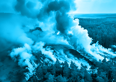
The increasing frequency, severity, and spatial extent of wildfires and heightened risks of wildfire-induced flooding underscore the urgent need to assess the potential impacts of wildfires on peak flood flows. However, conducting wildfire impact assessments is challenging when reliant on imprecise models due to the necessity for detailed data on wildfire severity and extent, the dynamic process of forest recovery, and the scarcity of postburn flow data. This complicates the ability to make informed assumptions about wildfire impacts.
To address this issue, the study introduces a novel methodology designed to screen wildfire impact scenarios on peak flood flows in data-scarce regions before a wildfire occurrence. This methodology encompasses prefire process-based hydrological modeling, sequential screening of brief wildfire impacts, and flood frequency analysis. Further, this methodology was applied to four fire-prone watersheds in Canada, demonstrating proof of concept. The study generated and compared scenarios of unburned and worst-burn conditions to assess changes in peak flood flows and flood frequency curves.
Findings revealed that annual peak flows and flood frequency curves increased in the short-term worst-burn scenario across all four watersheds. This screening methodology estimates the upper bounds of postfire peak flood flows, highlighting which watersheds may be disproportionately affected under a wildfire regime. The outputs from this model can be effectively integrated into risk management frameworks to inform wildfire management decisions aimed at hazard prevention and risk mitigation.
In summary, this study presents an innovative methodology for evaluating the potential impacts of wildfires on peak flood flows. It is suitable for use in regions with limited data ahead of wildfire events. This approach facilitates the early identification of vulnerable watersheds by employing pre-fire hydrological modeling, simulating short-term wildfire effects, and conducting flood frequency analysis. Acknowledgments: Natural Resources Canada funded this research through its Emergency Management strategy, the NSERC Canada Research Chairs program, and the NSERC Discovery Individual grants.
© 1996–2025 American Society of Civil Engineers. All rights reserved, including rights for text and data mining and training of artificial technologies or similar technologies.
ClimaTwin® is a B2B SaaS solution that empowers stakeholders to assess the physical and financial impacts of future weather and climate extremes on infrastructure assets and the built environment.
Ready to get started? To learn more about how ClimaTwin can help you assess the physical and financial impacts of future weather and climate extremes on your infrastructure assets and investment portfolios, please visit www.climatwin.com today.
© 2025 ClimaTwin Corp. ClimaTwin® is a registered trademark of ClimaTwin Corp. The ClimaTwin logos, ClimaTwin Solutions™, and Future-proofing assets today for tomorrow’s climate extremes™ are trademarks of ClimaTwin Corp. All rights reserved.
###